What Is ST_DISTANCE in BigQuery?
The ST_DISTANCE function in BigQuery calculates the distance between two geographic points.
ST_DISTANCE function is widely used for proximity analysis, helping businesses understand how close locations are to each other, such as customer addresses, delivery centers, or retail stores. This function is essential for optimizing logistics, improving marketing strategies, and enhancing spatial insights in geographic data models, making it a key tool for modern data-driven organizations.
Syntax of ST_DISTANCE in BigQuery
The ST_DISTANCE function measures the distance between two geography objects, typically represented as points. It returns a value in meters by default.
Syntax:
ST_DISTANCE(geography_expression_1, geography_expression_2)For example:
SELECT ST_DISTANCE(ST_GEOGPOINT(-122.4194, 37.7749), ST_GEOGPOINT(-118.2437, 34.0522)) AS distance_meters;This query calculates the distance between San Francisco and Los Angeles. The function can be applied directly to table columns for large-scale proximity analysis.
Benefits of Using ST_DISTANCE in BigQuery
The ST_DISTANCE function provides valuable insights for decision-making based on geographic proximity.
- Improves location planning: Helps identify ideal store or facility placements.
- Enhances logistics optimization: Enables route efficiency and delivery cost reduction.
- Supports market analysis: Assists in understanding customer reach and density.
- Facilitates geospatial modeling: Integrates seamlessly with BigQuery GIS functions for deeper analysis.
- Strengthens business intelligence: Turns raw location data into actionable insights.
Limitations and Challenges of ST_DISTANCE in BigQuery
While ST_DISTANCE is powerful for distance calculations, it has limitations when handling inconsistent or invalid data.
Errors can occur if geometries differ in type or structure.
- Inconsistent geometry types: Calculations between incompatible geometry types (e.g., point vs. polygon) may fail.
- Invalid inputs: Poorly formatted or null coordinates can lead to inaccurate or null results.
- SRID mismatches: Using geometries in different spatial reference systems causes errors in measurement.
- Performance issues: Large datasets may increase processing time during complex calculations.
Validating geometry consistency before execution ensures precise results and reliable analytics.
Best Practices for Using ST_DISTANCE in BigQuery
Using ST_DISTANCE effectively requires attention to data accuracy, geometry validation, and performance tuning.
These practices help ensure reliable spatial measurements and optimized query execution in BigQuery.
- Validate geometry consistency: Always confirm that both inputs share the same geometry type using ST_GEOMETRY_TYPE().
- Align spatial reference systems: Ensure all geometries use the same SRID to prevent distance miscalculations.
- Clean invalid data: Use ST_ISVALID() to detect and correct malformed or incomplete geographic inputs.
- Test queries with subsets: Run sample queries first to identify potential errors or inefficiencies before scaling.
- Store computed results: Cache frequently used distance outputs in a dedicated table to reduce repetitive calculations.
Applying these best practices ensures accurate, efficient, and scalable distance-based analysis in BigQuery.
Real-World Applications of ST_DISTANCE in BigQuery
The ST_DISTANCE function supports diverse real-world applications across business and analytics environments.
- Retail site selection: Determine the best new store locations based on customer proximity.
- Logistics and delivery planning: Optimize routes by calculating distances between depots and destinations.
- Customer segmentation: Classify customers by proximity to outlets or service zones.
- Competitor analysis: Measure geographic distance between competitor stores for strategic insights.
- Emergency services: Analyze response times by calculating distances between incidents and nearest facilities.
These use cases demonstrate how ST_DISTANCE drives operational efficiency and spatial intelligence.
Explore the ST_DISTANCE Function in BigQuery in Detail
To deepen your knowledge, explore how ST_DISTANCE interacts with other BigQuery GIS functions like ST_WITHIN, ST_BUFFER, and ST_INTERSECTS. Together, these tools enable powerful location-based analytics, from identifying overlapping service areas to visualizing travel ranges.
You can also experiment with integrating ST_DISTANCE into predictive models or BI dashboards for advanced mapping and performance insights in location intelligence workflows.
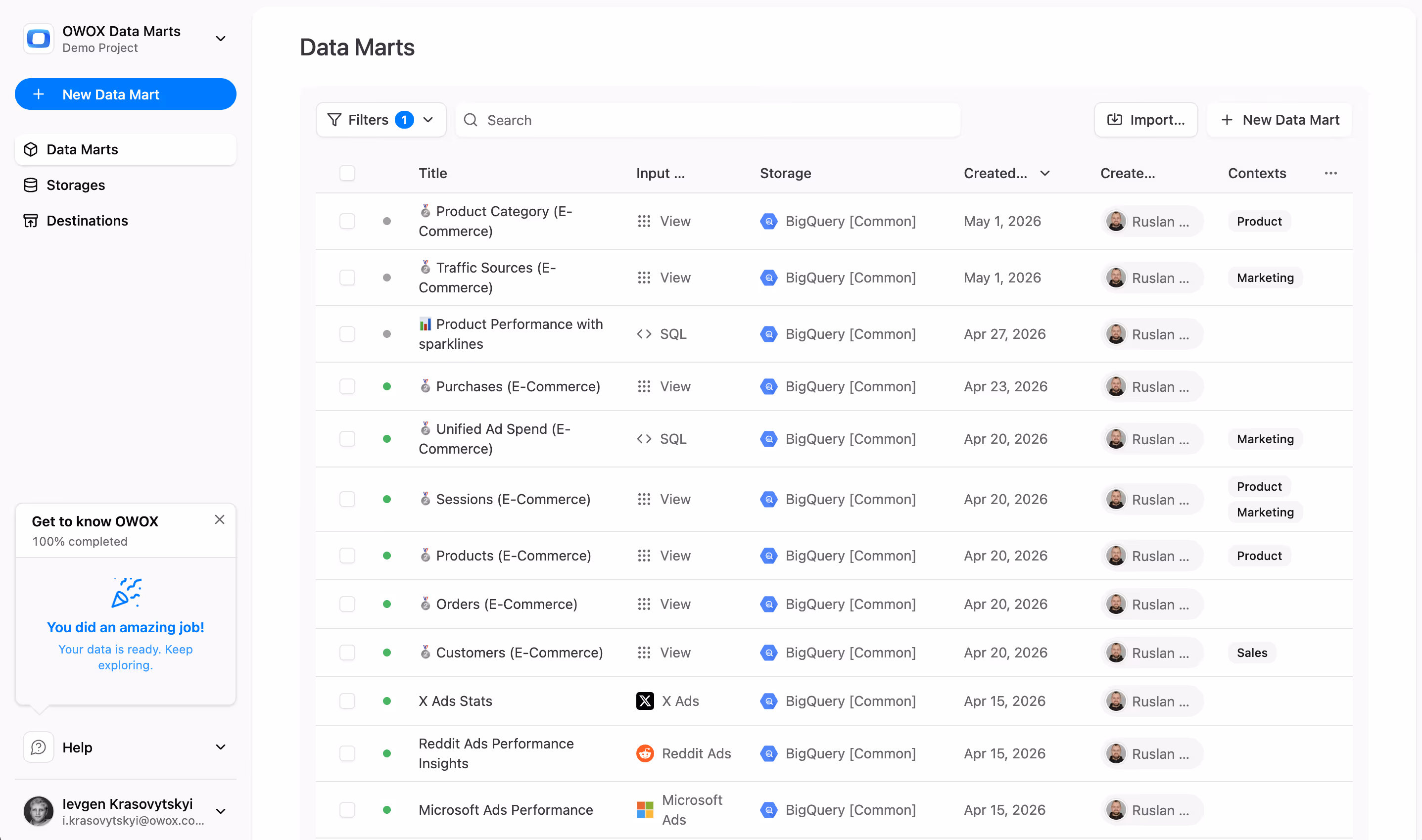
Measure Spatial Data Accurately with OWOX Data Marts
OWOX Data Marts enables analysts to structure geospatial logic once and reuse it across dashboards and reports. You can run accurate distance analyses, validate inputs, and automate updates with governed workflows. Teams gain faster insights while ensuring data consistency across all tools.


Finally, a tool that doesn't ask business users to learn a new dashboarding UI. Our marketing team already knows Sheets. OWOX just delivers the right data.
Joinable data marts concept was the thing that sold us. We can now use the semantic layer without building one.
Self-hosted the OSS version on Digital Ocean. Zero vendor lock-in. Contributed a Shopify connector back in week two.